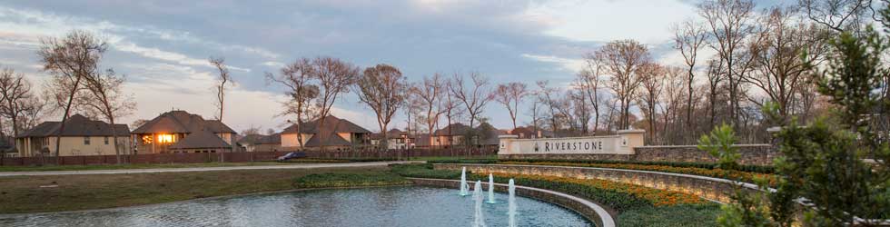
The development of Riverstone required a permit from the United States Army Corps of Engineers (USACE). As part of the USACE permit, the District is required to construct and maintain 25 acres of wetlands areas under strict federal requirements. The 25-acre requirement includes multiple wetland planting beds in the lakes throughout Riverstone. These wetland beds were purposefully created in the lakes to help improve water quality. Wetlands Park on LJ Parkway and the Cypress Bend greenbelt along the Club at Riverstone Trail also include protected wetlands.
There are a variety of “desirable” wetland plant species LID 15 must establish under the USACE permit, but the District is limited to the maintenance that can be performed on “undesirable” or invasive plants. In recent months, the lack of rain has resulted in lower lake levels, allowing more weeds to grow in wetland areas that are typically underwater. During the peak of drought conditions in August and September, maintenance crews were able to cut back the plant material in these beds, particularly in the dry areas most impacted by the drought. Wetland maintenance crews also continue to treat invasive species by hand. As conditions improve in the fall, the District will resume transplanting desirable plants and continue to improve the aesthetics of the wetlands. LID 15 residents are cautioned not to cut or trim any plants in the wetland areas, but they are encouraged to contact LID 15 directly with any maintenance concerns.
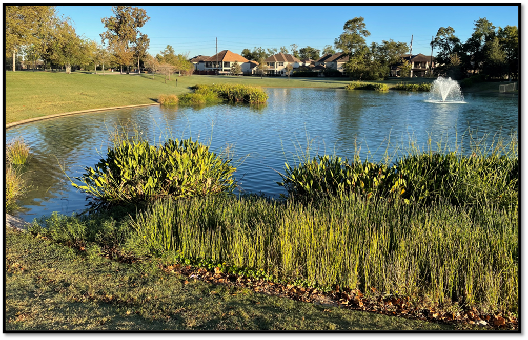
Riverstone Lake with Multiple Wetland Plant Beds