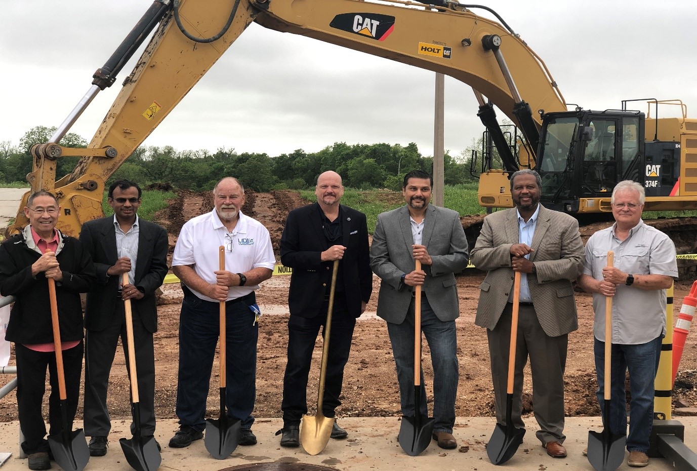
Lake Sommerville Dam Tour

The primary function of LID 15 is to prevent Brazos River flooding, and Lake Sommerville is the closest flood control reservoir in the watershed. Lake Sommerville is approximately 100 miles upstream of LID 15 and is located about 10 miles north of Brenham, Texas. On April 22, Fort Bend County hosted a tour of the Lake Sommerville dam and spillways with the United States Army Corps of Engineers (USACE). USACE is considered a world-wide leader in dam and levee safety, so the tour was attended by numerous Levee Improvement District (LID) officials from Fort Bend County, including members of the LID 15 Board of Directors.

The Lake Somerville dam (pictured below) can hold back more than 507,500 acre-feet (165 billion gallons) of water. This incredible volume of water has a major impact on Brazos River flood conditions downstream in LID 15. Therefore, the operations and maintenance of Lake Somerville directly impacts emergency responses across Fort Bend County. The tour allowed LID representatives to get an up-close view and gain first-hand experience with reservoir operations on the Brazos River. The event was also a networking opportunity to meet with other professionals that manage flood risks in southeast Texas.

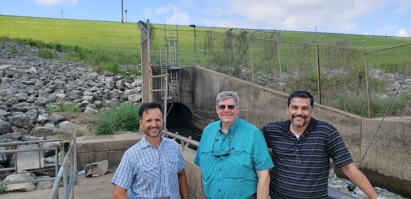
Lake Sommerville Dam and Spillway in Background. Pictured in Foreground: Marcus Schimank – USACE, Glen Gill – LID 15 Assistant Secretary, and Rohit Sankholkar – LID 15 President (left to right).

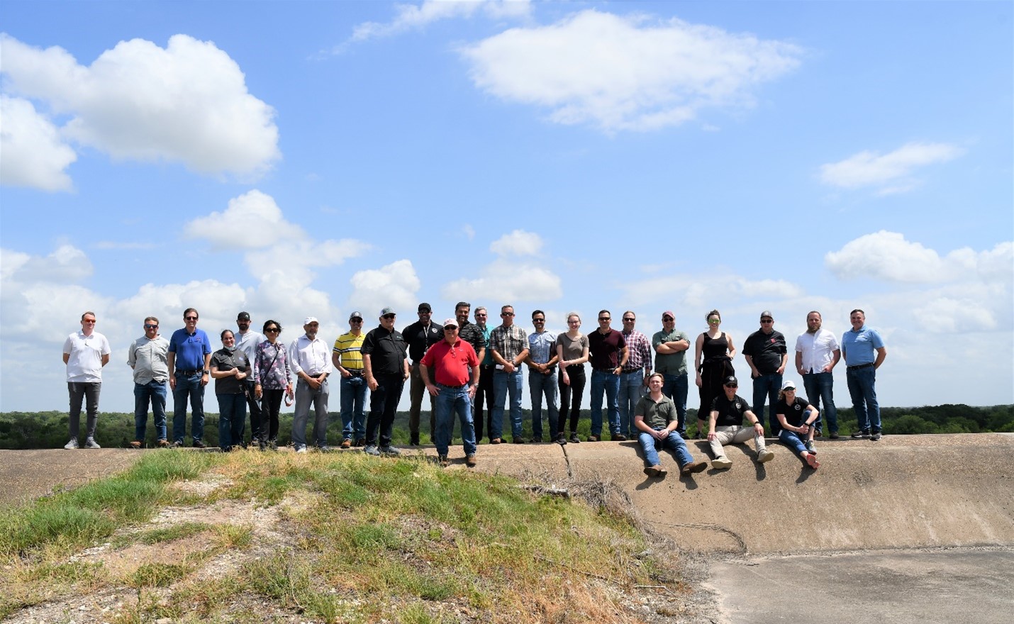
Lake Sommerville Emergency Spillway – Fort Bend County Tour Group

Levee Raising Construction – First Colony LID

Adjacent to LID 15 is a neighboring Levee District known as First Colony LID. Like many LIDs around Fort Bend County, First Colony LID is working on levee and drainage improvements within their District.

First Colony LID is currently excavating existing ponds to create additional detention inside the levee, and the excavated material is being used to raise their levee approximately 2 feet. This construction project and levee raising will occur behind some homes that are inside LID 15, generally on Riverstone Crossing Drive, Gable Wing Lane and Mistyleaf Lane.

The First Colony LID construction project will not increase the risk of flood control or drainage issues inside LID 15. Additional information including a project map and contact information can be found on the First Colony LID website: www.firstcolonylid.org.

Groundbreaking Ceremony – Steep Bank Creek Pump Station Expansion

From left to right: Glenn Wong (LID 19), Sreekanth Pannala (LID 19), Dean Cooper (LID 19), Fort Bend County Commissioner Ken DeMerchant (Precinct 4), Rohit Sankholkar (LID 15), Fort Bend County Commissioner Grady Prestage (Precinct 2), and Jeff Anderson (LID 15).

Fort Bend County Levee Improvement District No. 15 (LID 15) is continuing its partnership with Fort Bend County Levee Improvement District No. 19 (LID 19) to improve flood control in the Steep Bank Creek watershed, which includes the eastern portion of LID 15. On Thursday, April 15, 2021 LID 15 and LID 19 broke ground on the Steep Bank Pump Station Expansion Project.  Construction is expected to take one year to complete, so the expanded Steep Bank Creek Pump Station will be operational by May 2022.  The pump station is located in LID 19 on Thompson Ferry Road, but this flood control facility is jointly operated by LID 15 and LID 19.

Currently, the Steep Bank Creek Pump Station has four pumps that combined remove up to 80,000 gallons of water per minute (GPM).  Three new pumps will be added to increase the total pump capacity to 230,000 GPM.  The facility is also home to 12 mobile pumps that can produce an additional 80,000 GPM. When complete, these improvements represent a 388% increase in pump capacity since Hurricane Harvey.

The Steep Bank Creek Pump Station is also equipped with a natural gas-powered generator to run the existing pumps during a power outage.  The expansion project includes the installation of additional diesel generators to power the new pumps in the event of an outage. Construction will be sequenced to ensure that the existing pumps are available throughout the 2021 Hurricane Season.

The pump stations in LID 15 are exercised monthly and are operated when the Brazos River reaches flood stages that automatically close the flood gates in the levee.  If it rains in LID 15 while the flood gates are closed, the pump stations are activated to remove runoff from inside the levee.  Look for future updates about the Steep Bank Creek Pump Station Expansion Project on the LID 15 website and Facebook.